Construct Media, Bath

Landscape in verified views

Three recent projects where the landscape design is part of the visual evidence, not something added after the buildings. Drag the line on each paired view to compare existing and proposed.

Enderby, Leicestershire

Industrial units. Four verified viewpoints and two aerial views.

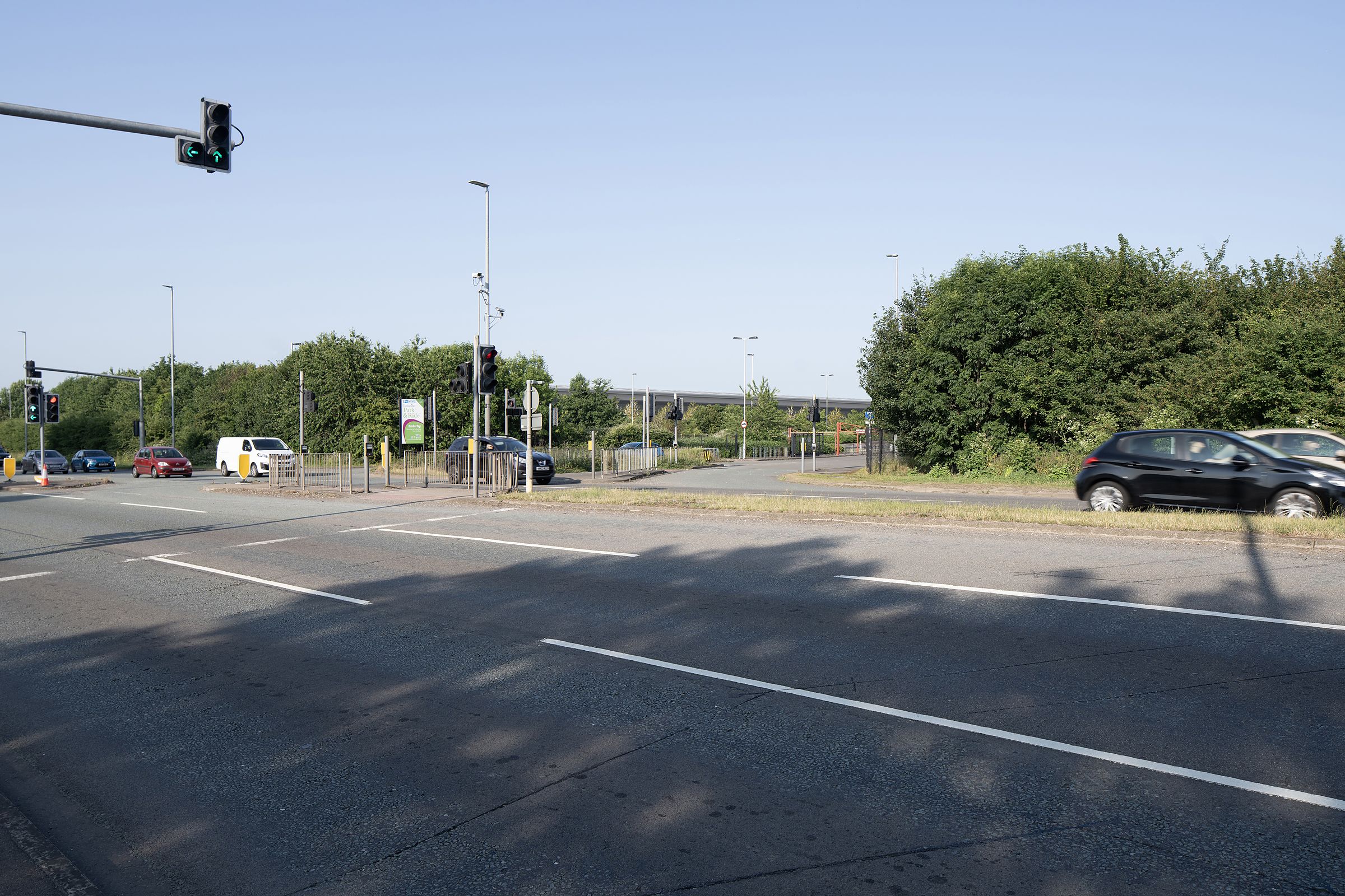
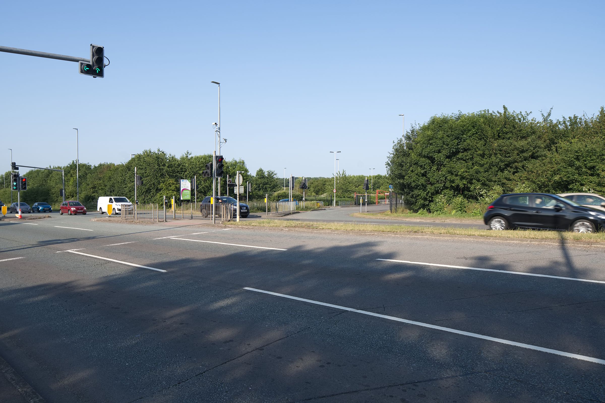
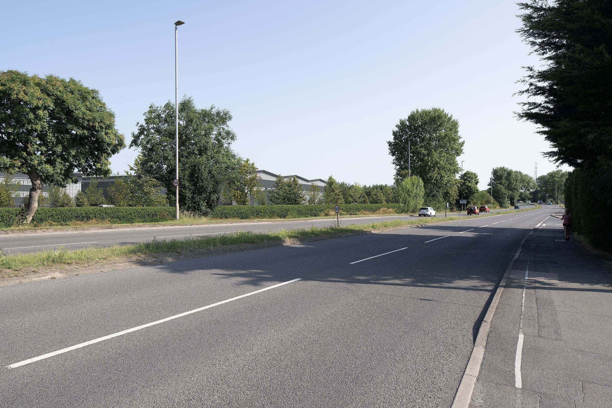
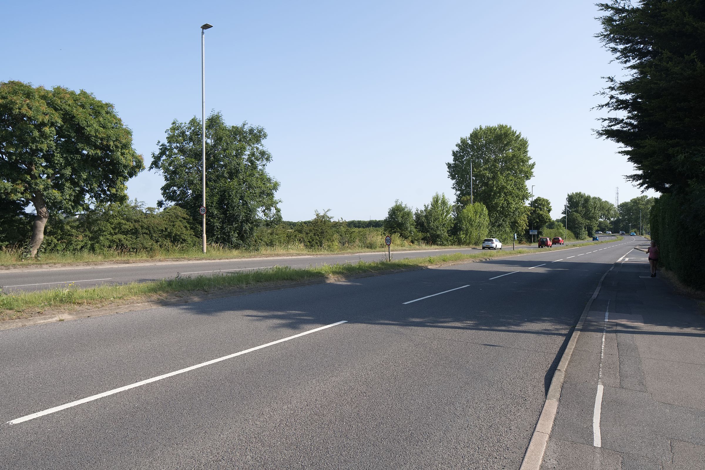
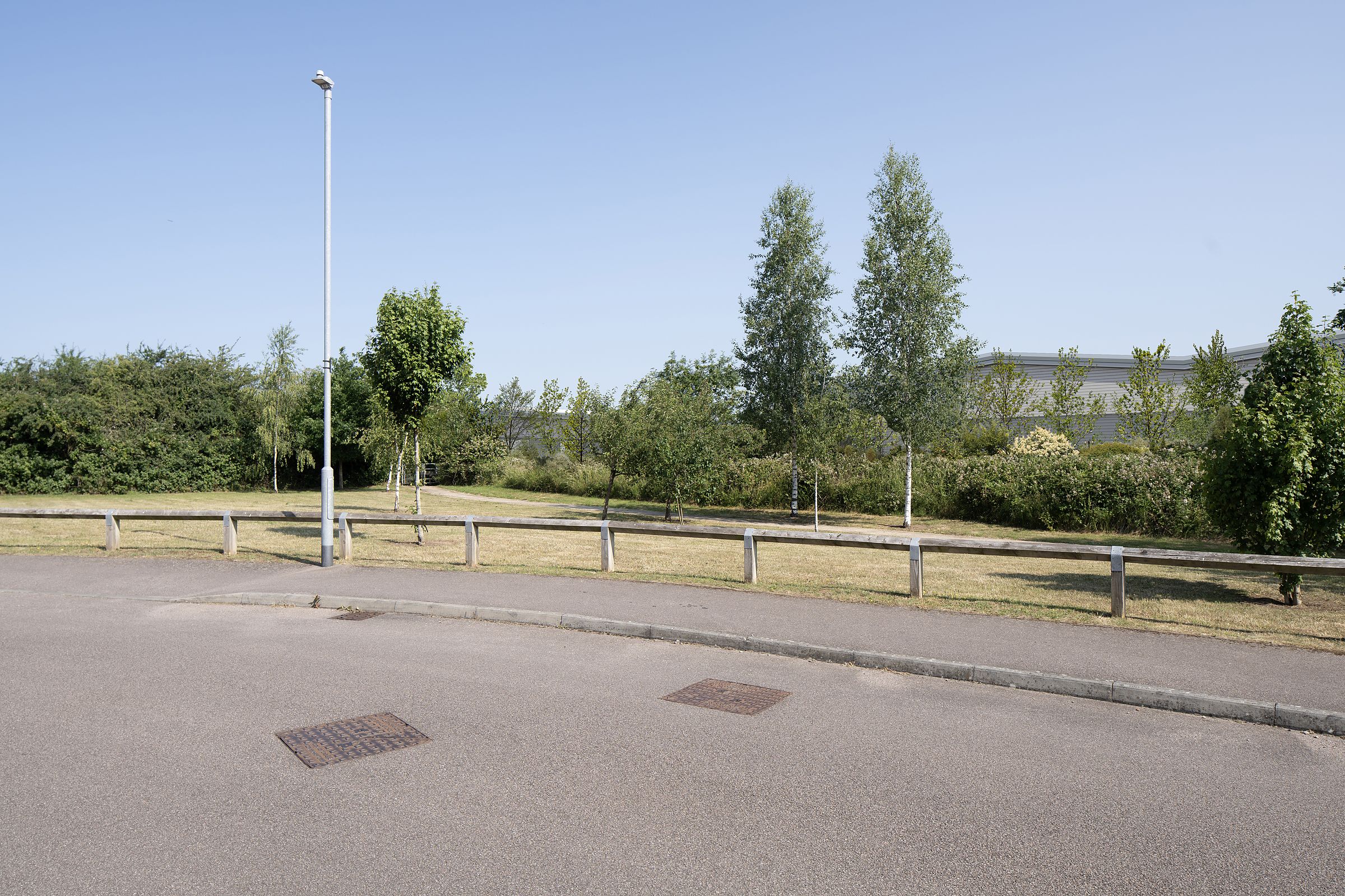
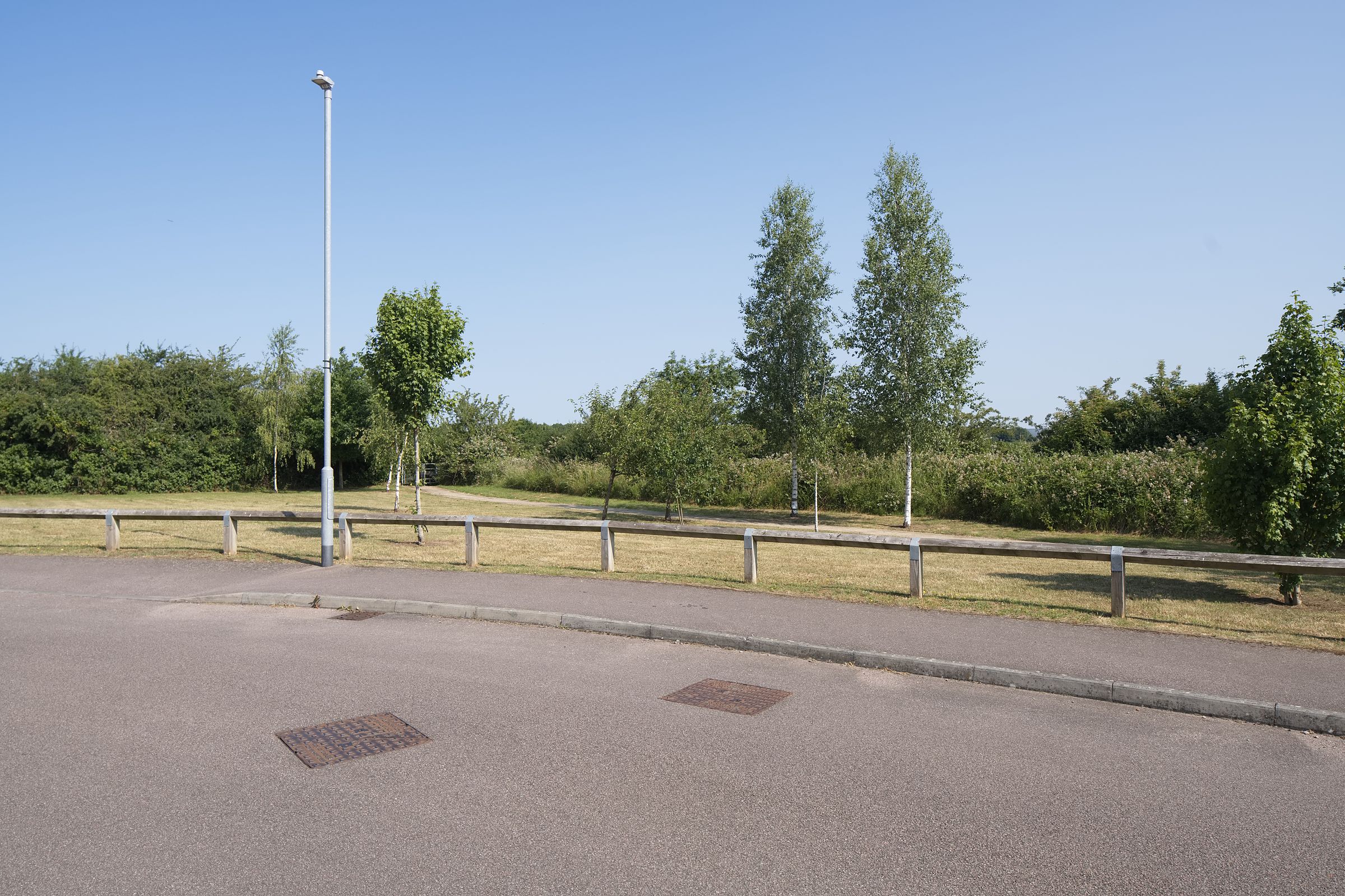
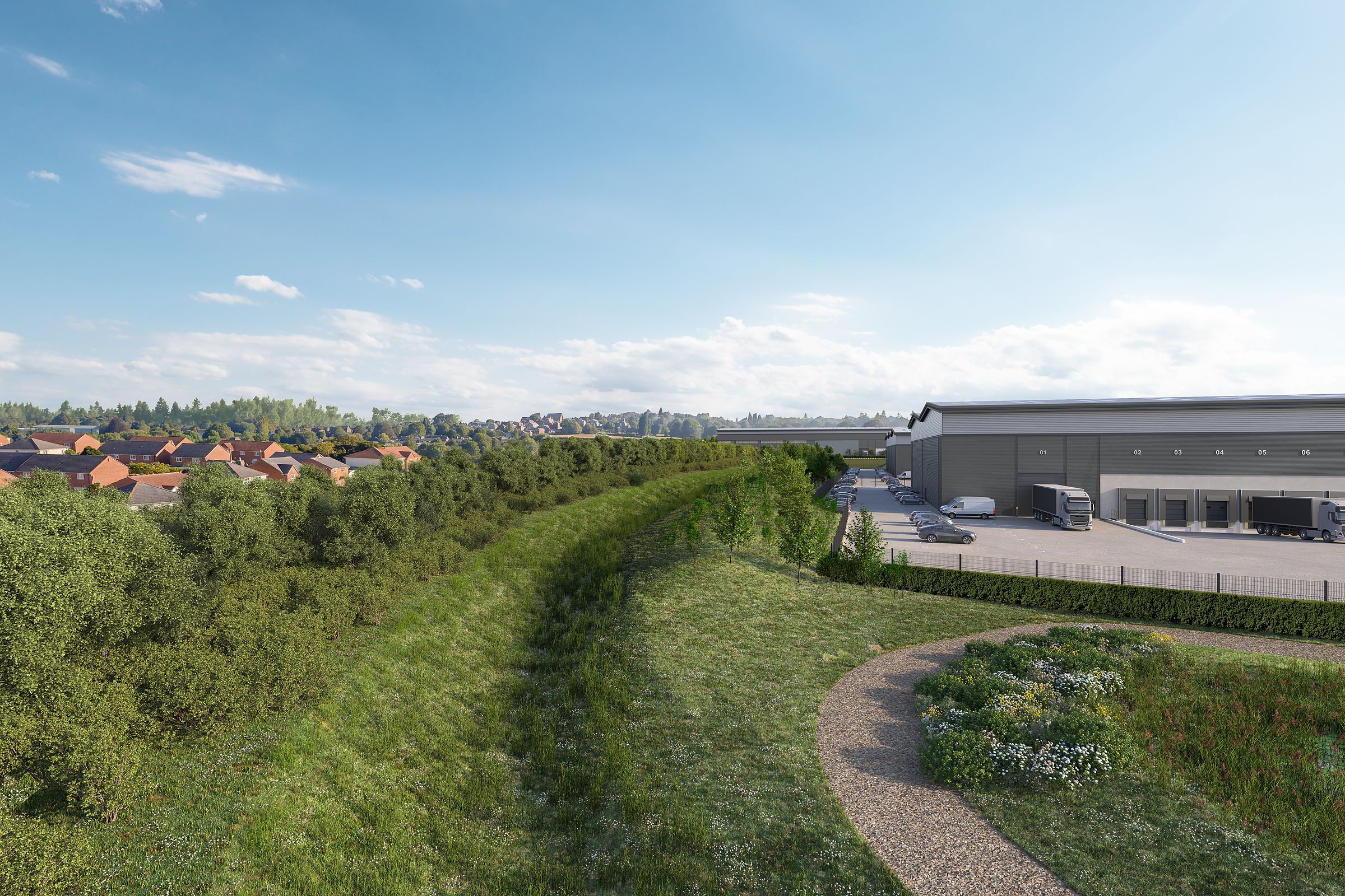
A sensitive site where screening depended on the landscape strategy. The bunds and planting belts were modelled from the landscape architect's drawings and placed in each surveyed viewpoint, so the views show what remains visible of the units once the mitigation is in place.
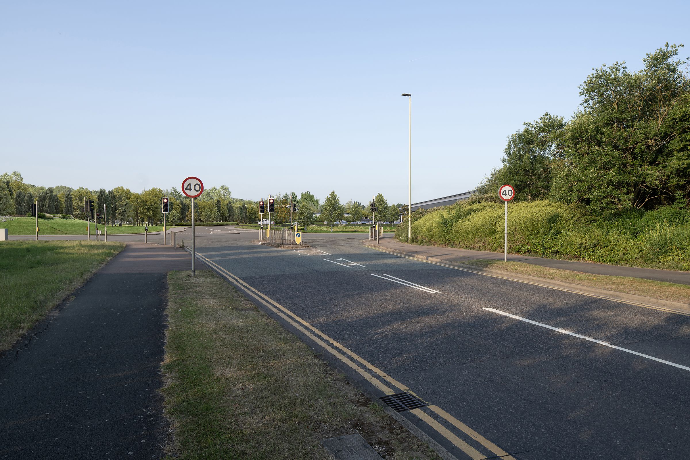
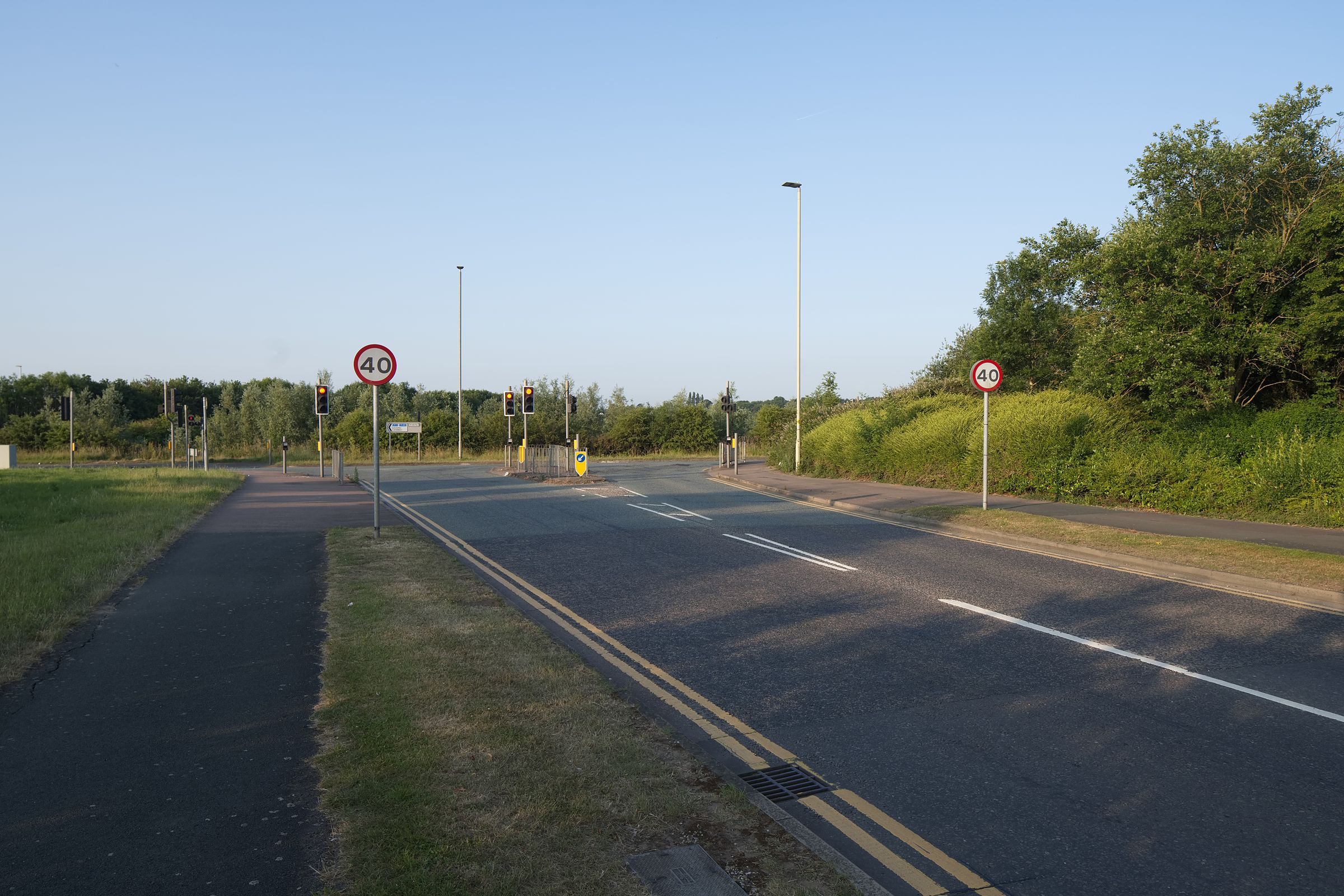
Viewpoint 1, proposed Viewpoint 1, existing
ExistingProposed
Viewpoint 1. Existing and proposed.
Viewpoint 2, proposed Viewpoint 2, existing
ExistingProposed
Viewpoint 2. Existing and proposed.
Viewpoint 3, proposed Viewpoint 3, existing
ExistingProposed
Viewpoint 3. Existing and proposed. The unit roofs read above the hedge line; the planting belt in front is the screening.
Viewpoint 4, proposed Viewpoint 4, existing
ExistingProposed
Viewpoint 4. Existing and proposed.
Aerial view of the Enderby scheme showing bund and planting belt in front of the units
Aerial view. The bund, swale and planting belt between the units and the residential edge.
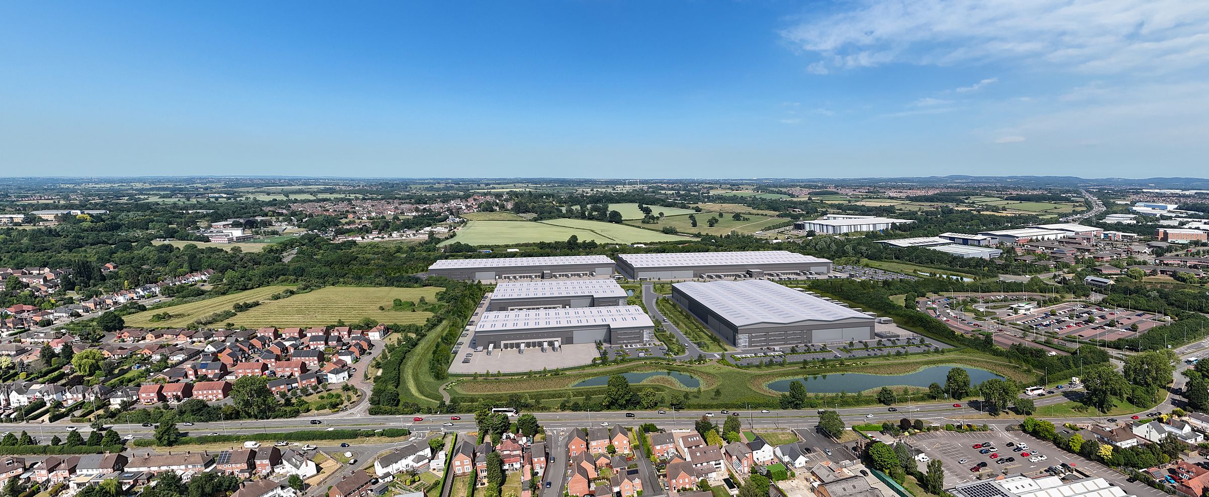
Wide aerial view of the Enderby scheme in its setting
Context aerial. The scheme in its wider setting.

Colchester

Residential scheme on the river. Two montages of the same elevation.

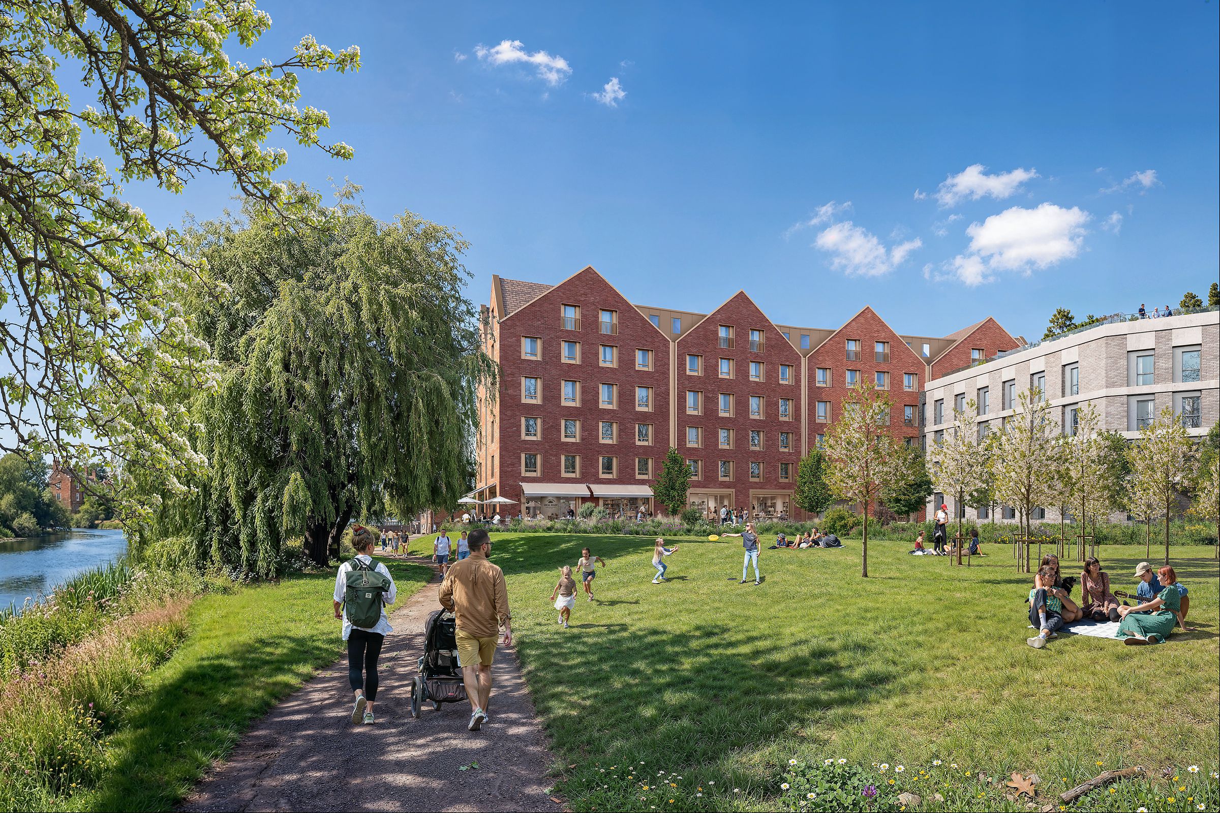
The first montage was produced by another studio. The buildings are placed in the photograph and the ground is left as found. Ours models the landscape proposals as well as the architecture: the riverside path, the open space and the tree planting the scheme relies on. For a planning officer or an inspector, the second image answers the question the first one raises.
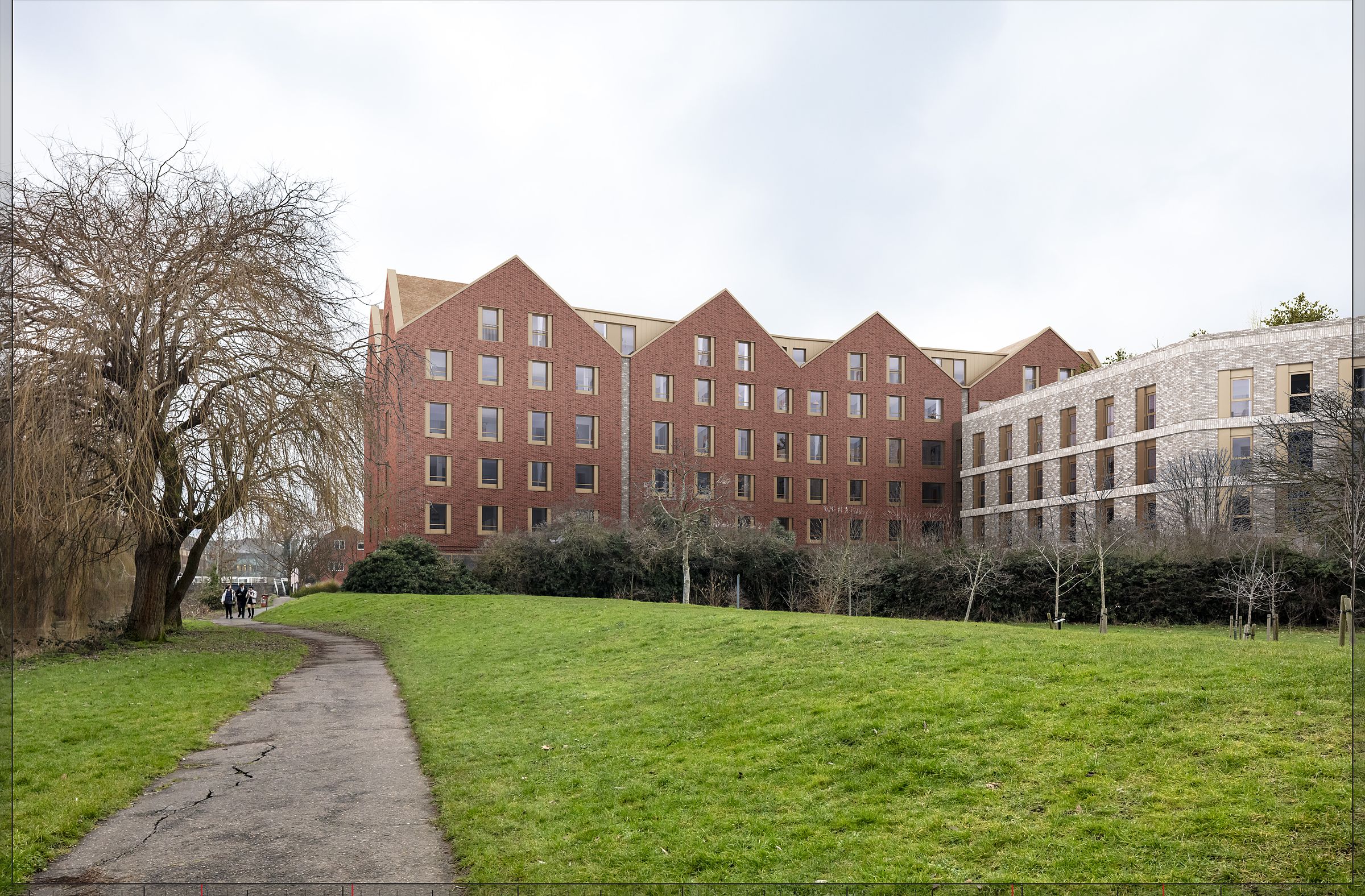
Colchester montage by another studio, buildings only
Montage by another studio. Buildings added, landscape as existing.
Colchester view by Construct Media with proposed landscape
Construct Media. Buildings and proposed landscape.

Mary Arches, Exeter

City-centre residential scheme. Verified views and design and access images.

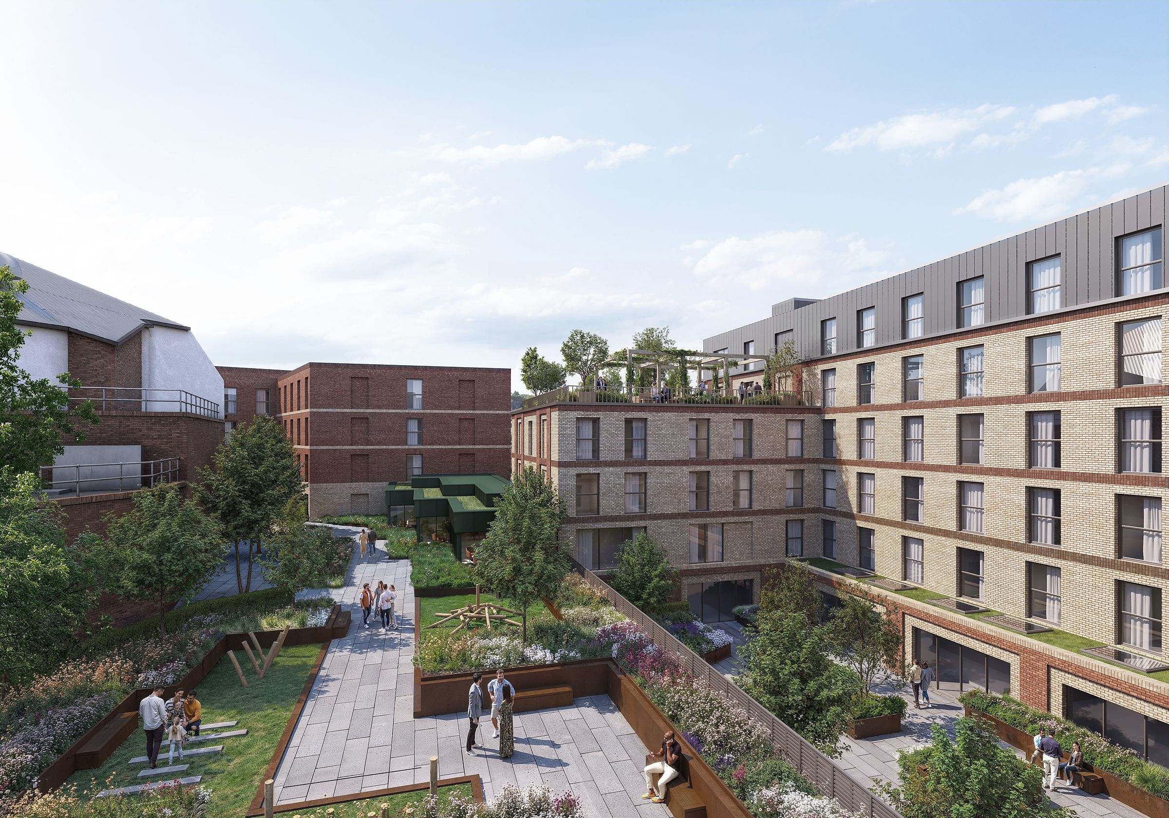
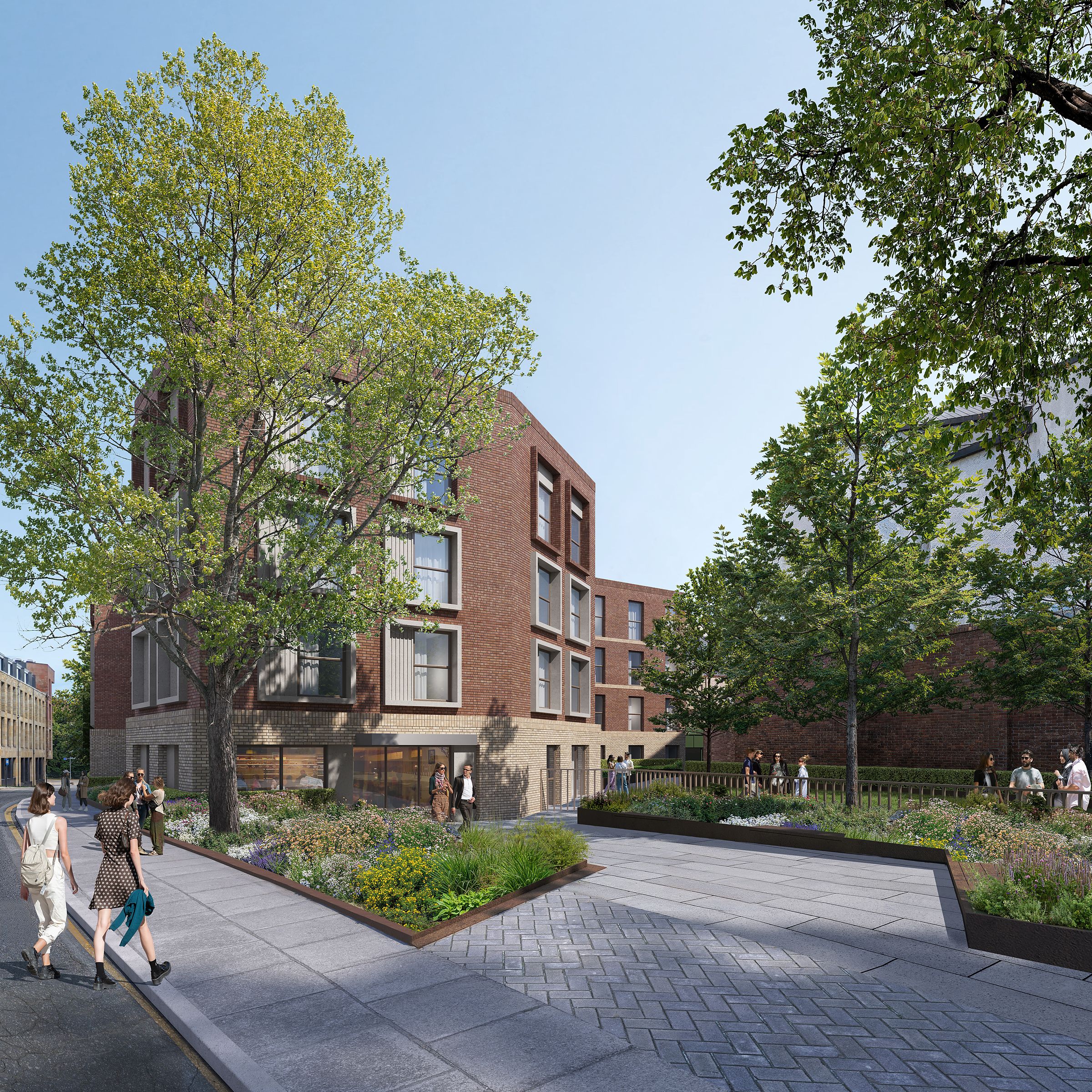
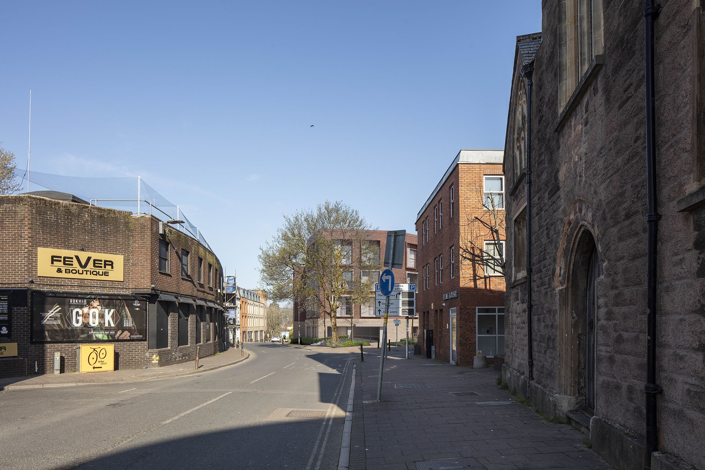
Verified views from the surrounding streets, with the courtyard and street planting modelled in full, alongside design and access images that show the landscape at ground level.
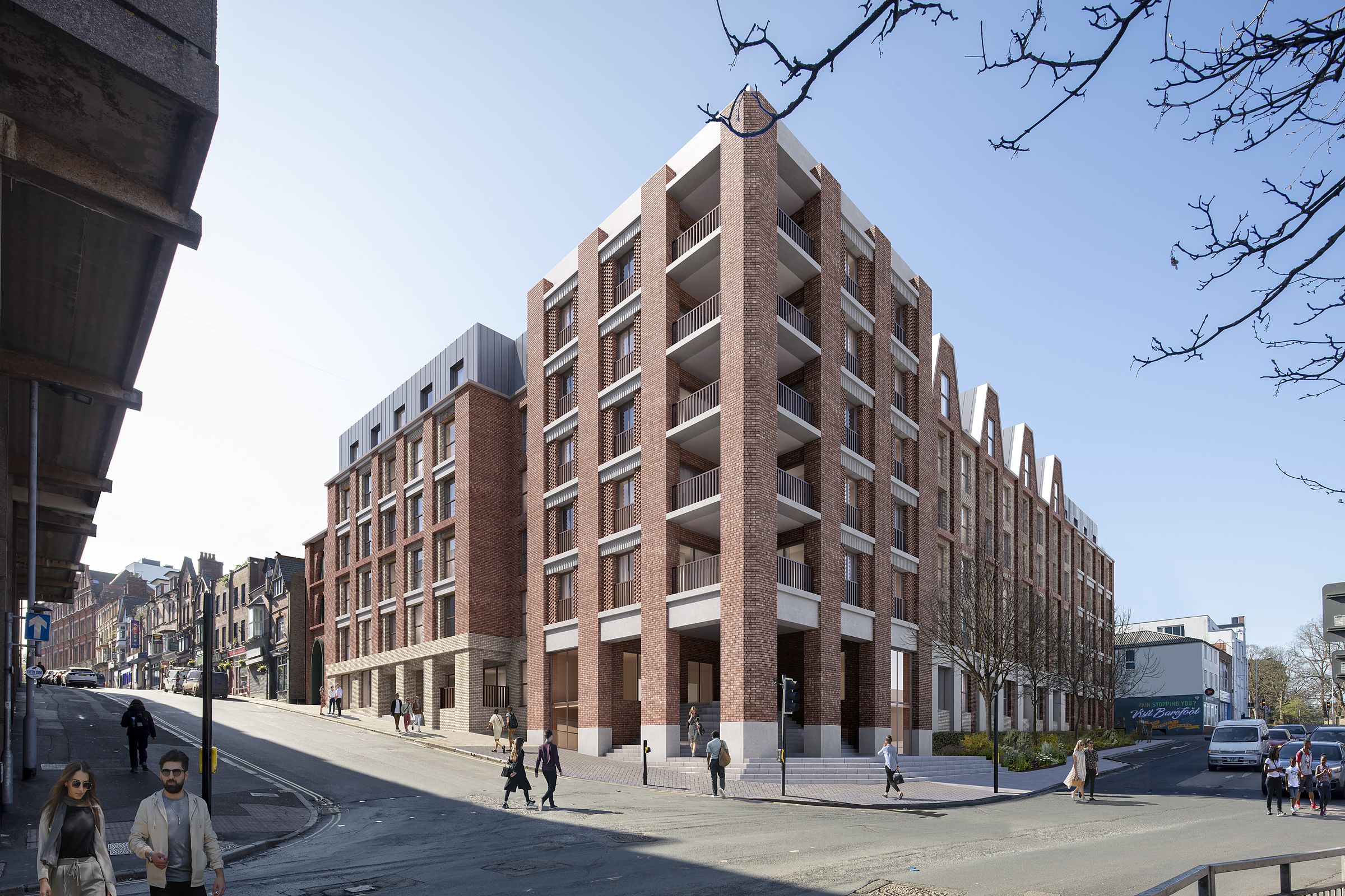
Mary Arches verified view from the street corner
Verified view. Street corner.
Mary Arches verified view along the street
Verified view. Along the street, with the scheme in the middle distance.
Mary Arches courtyard garden, design and access image
Design and access. Courtyard garden.
Mary Arches entrance and planting, design and access image
Design and access. Entrance and street planting.